Biking
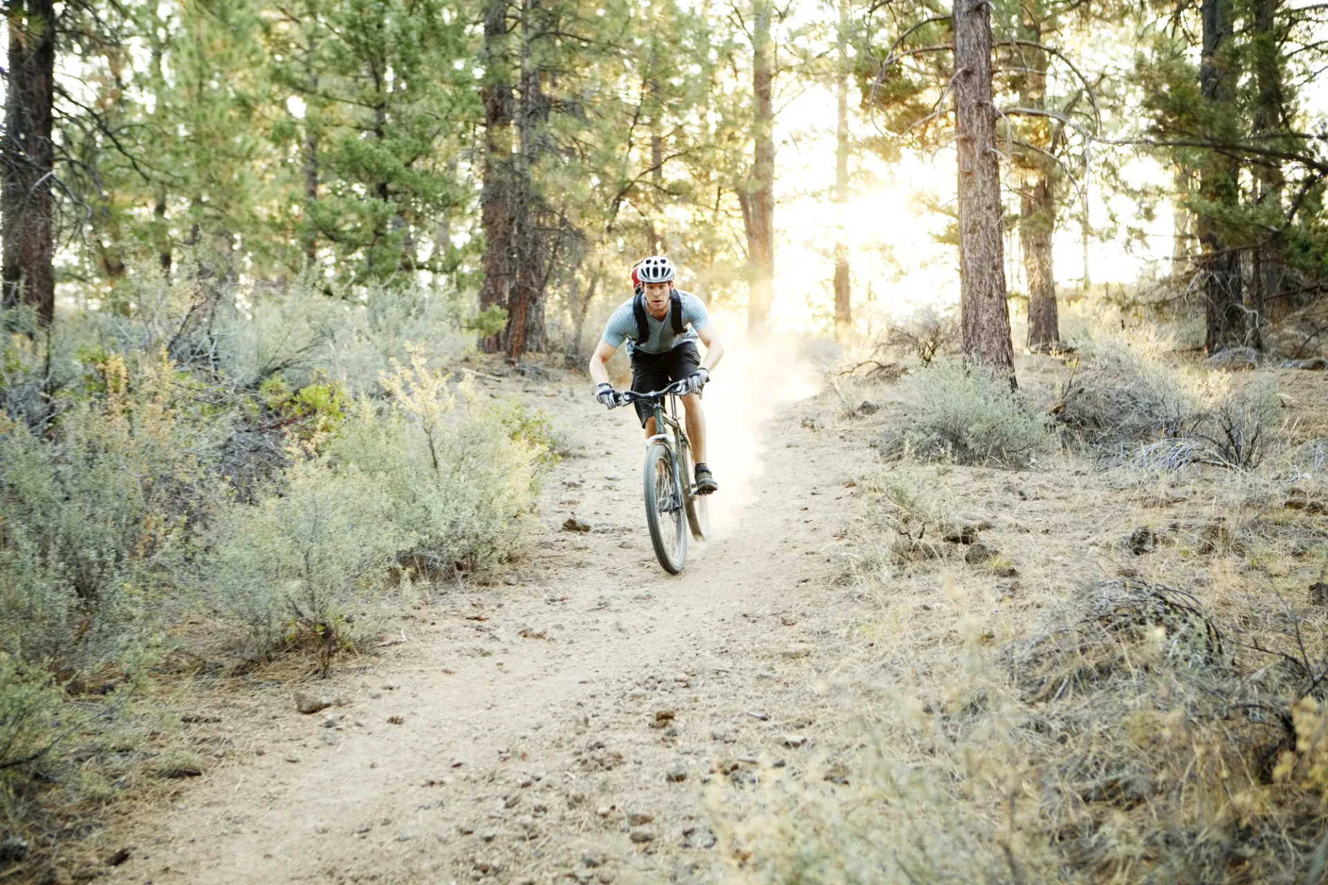
There are miles of dirt roads and trails open to mountain biking in the San Jacinto Mountains. We’ll help you find the trails where you’re welcome.
- Permit
- None outside wilderness
- Water
- Carry your own
Trail rules come from the San Jacinto Ranger District, the people to ask about closures before you ride.
Where bikes can and can’t go
Let’s start with where you can bike: dirt roads and trails in the San Bernardino National Forest that are outside the wilderness designations. There’s plenty of both to ride on, and you can find them on the Forest Service’s Motor Vehicle Use Map; download it before you go, since cell service can be iffy on the trail. Bikes share the trails with hikers and horses, and the dirt roads are also open to cars and trucks.
The Pacific Crest Trail, the trails from Humber Park, the San Jacinto Wilderness and the South Fork San Jacinto Wilderness do not allow bikes. Bikes used to be allowed on the Ernie Maxwell Scenic Trail, but they are no longer allowed.
In town, the Strawberry Creek Path allows mountain biking under its owner’s rules: daylight only, and quiet, since it runs past people’s homes.
Thomas Mountain and the Ramona Trail
In Garner Valley, Thomas Mountain is the classic ride south of town, and the Forest Service trails back it up. Thomas Mountain Road (6S13), a dirt road, climbs to the ridge, and the Ramona Trail drops from Toolbox Spring on that road down to Highway 74. The Ramona Trail’s views over Garner Valley are the reward for the climb.
The pieces, from the Forest Service:
- Ramona Trail (3E26). 3 miles one way between Highway 74 near Kenworthy, about 3.5 miles south of Lake Hemet, at 4,400 feet, and Toolbox Spring on Thomas Mountain Road, 1,500 feet higher. Rated moderate, and open to hikers, horses and mountain bikes. No permit needed.
- Thomas Mountain Bike Trail (3E27). 2.37 miles, moderate, between 6,017 and 6,573 feet, running between Thomas Mountain Road near the top of the Ramona Trail and Little Thomas Mountain. Check its Forest Service page for its current state before you count on it, and expect it rough.
- Thomas Mountain Road (6S13). The dirt climb and the ridge. It also serves the Thomas Mountain and Toolbox Spring yellow-post campsites, so you’ll meet cars.
Dirt roads change with the weather, so check the state of 6S13 with the San Jacinto Ranger District before you drive out. For other dirt-road rides near town, ask the district which roads are open to bikes.
Before you ride
- Watch for traffic. Cars and trucks on the dirt roads, hikers and horses on the trails. Yield to both on the trails, and control your speed.
- Carry water and a map. There’s no water at most trailheads, and cell service in the backcountry is spotty or nonexistent. Tell someone your route.
- Wear a helmet.
- Finish by dusk. The roads aren’t lit, and the mountain gets dark fast under the trees.
- Rattlesnakes are out from spring through fall.
The Forest Service’s San Jacinto Ranger District, at 54270 Pine Crest in the village, is the source for maps and road conditions.
Keep going